Crater Lake National Park is the most panorama-ready national park I have ever visited. The vistas are sweeping from the rim of the extinct volcano’s caldera, encompassing a six-mile wide lake. I have made two short visits to Crater Lake National Park, and spent most of my time composing panoramic photographs of the lake, the caldera rim and Wizard Island jutting up from the middle of Crater Lake. All of these panoramas will reproduce well to enormous sizes in case you see something you would like to have hanging in your office lobby and in the living room of your home. Cheers and thanks for looking!
Panoramic photo of Crater Lake National Park
Image ID: 28675
Location: Crater Lake National Park, Oregon, USA
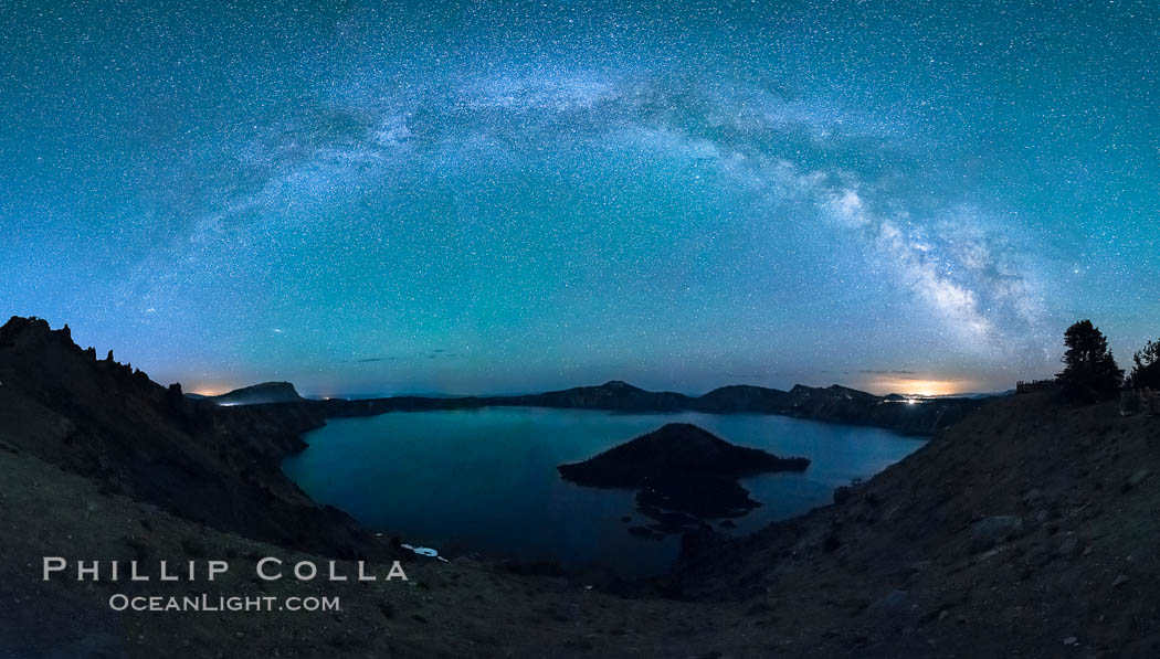
Milky Way and stars over Crater Lake at night. Panorama of Crater Lake and Wizard Island at night, Crater Lake National Park.
Image ID: 28641
Location: Crater Lake National Park, Oregon, USA
Self portrait at sunrise, panorama of Crater Lake. Crater Lake is the six-mile wide lake inside the collapsed caldera of volcanic Mount Mazama. Crater Lake is the deepest lake in the United States and the seventh-deepest in the world. Its maximum recorded depth is 1996 feet (608m). It lies at an altitude of 6178 feet (1880m).
Image ID: 19130
Location: Crater Lake National Park, Oregon, USA
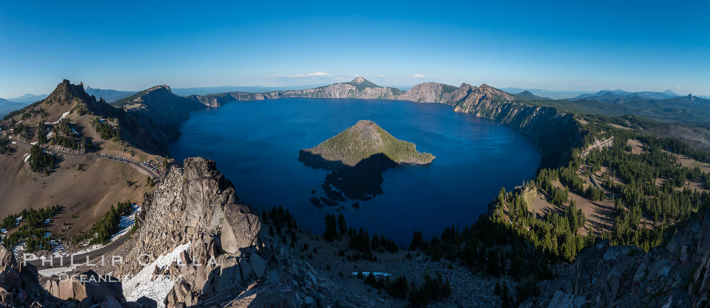
Panorama of Crater Lake from Watchman Lookout Station, panoramic picture. The Watchman Lookout Station No. 168 is one of two fire lookout towers in Crater Lake National Park in southern Oregon. For many years, National Park Service personnel used the lookout to watch for wildfires during the summer months. It is also a popular hiking destination because it offers an excellent view of Crater Lake and the surrounding area.
Image ID: 28633
Location: Crater Lake National Park, Oregon, USA
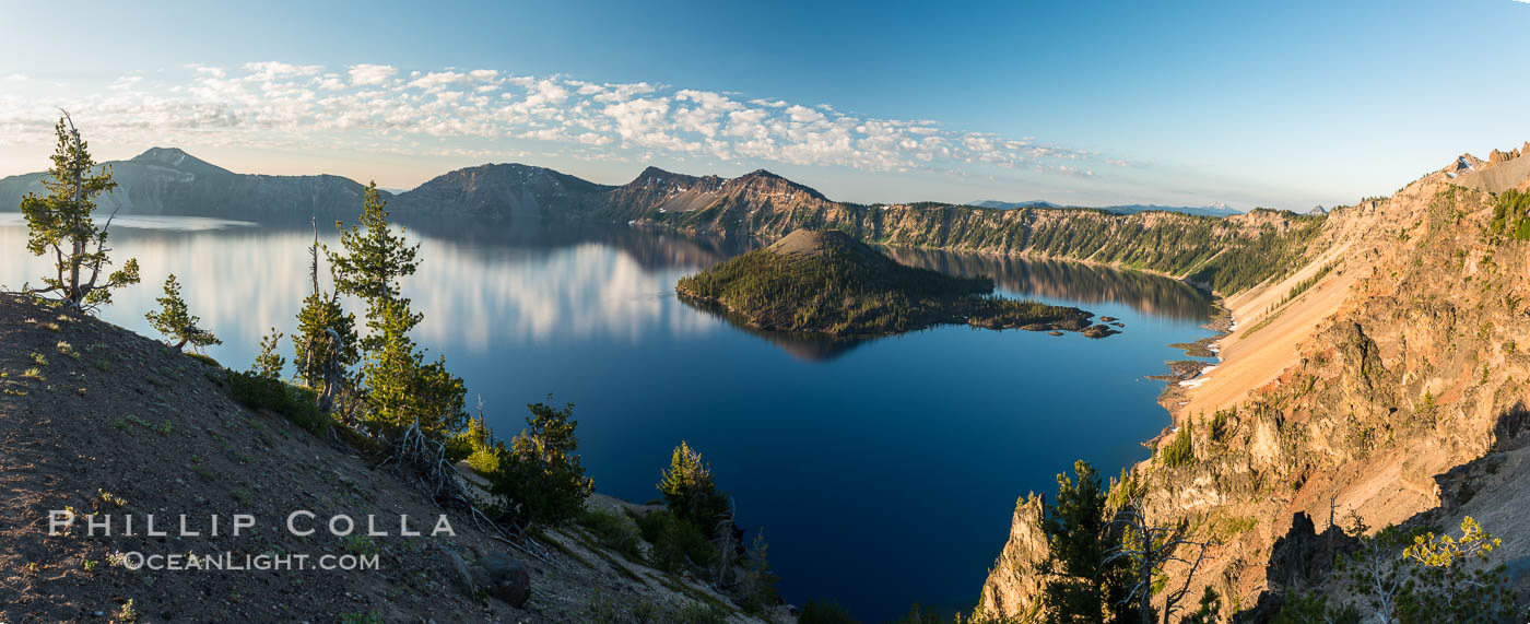
Crater Lake panoramic photograph. Panorama picture of Crater Lake National Park.
Image ID: 28663
Location: Crater Lake National Park, Oregon, USA


